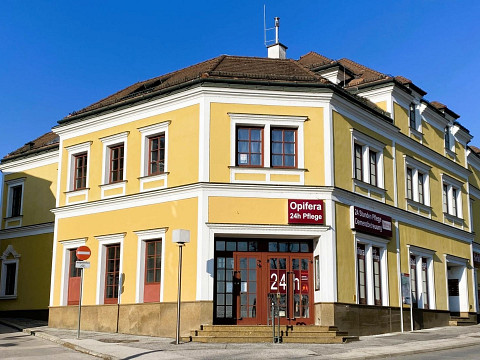
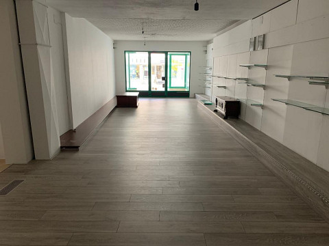
shops at Wulkaprodersdorf, radius of 10km to buy and rent
About 7041 - Wulkaprodersdorf
The municipality of Wulkaprodersdorf is a valley settlement in the Wulka plain. Geographically, Wulkaprodersdorf lies between Lake Neusiedl to the east, the Rosalia Mountains to the west and is bordered by the Ödenburger Mountains to the south and the Leitha Mountains to the north. The highest elevation (Föllik) reaches a height of 243 m and even offers a view of Lake Neusiedl. The lowest point (Pieler Mühle) is 162m. The total area of Wulkaprodersdorf covers 12.22 km.Due to its favorable geographic location, Wulkaprodersdorf is an important traffic junction.Today, Wulkaprodersdorf is the seat of the Wulkatal water board. New housing estates were built to prevent the young population in particular from moving away. As part of the celebrations for the 700th anniversary, the municipality of Wulkaprodersdorf was awarded the right to use the name "market town" on June 21, 1992. Over the course of its history, Wulkaprodersdorf has grown into an up-and-coming municipality that can point to numerous successes in the municipal, cultural and economic fields.