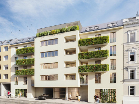
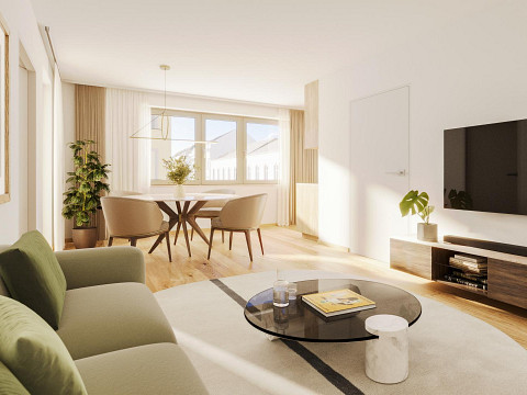
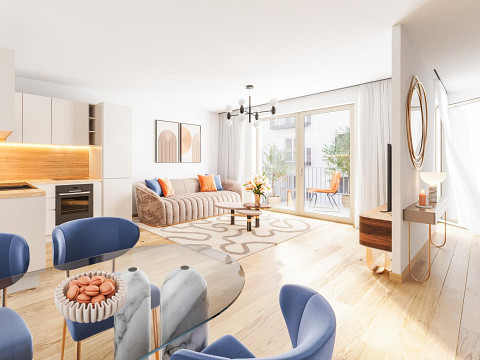
flats at Wien, Währing, radius of 10km to buy and rent
About 1180 - Wien, Währing
HistoryAfter the incorporation of the suburbs in 1850, the discussion about the incorporation of the suburbs began in the 1870s. The initiative for this came from Währing. The lawyer Dr. Leopold Florian Meißner submitted a petition to the Lower Austrian provincial committee in which he suggested the formation of "Greater Vienna". However, almost all the suburbs were against the proposal.At the opening of the Türkenschanzpark in 1888, Emperor Franz Joseph I gave a sensational speech in which he hoped that the suburbs would soon be united with the imperial capital and royal seat of Vienna. As a result, the Lower Austrian provincial parliament decided to unite 34 suburbs with Vienna in 1890. The law came into force on January 1, 1892; the municipal statute published with the law united Währing, Gersthof, Pötzleinsdorf, Weinhaus, Neustift am Walde and parts of Salmannsdorf to form the 18th Viennese municipal district of Währing. The Währing town hall became the municipal district office.In 1905, there was a small change in the district area on the Gürtel. Until then, the border between the 9th and 18th districts had not run from Währinger Straße northwards along the Gürtel, but one block further east through Lustkandlgasse, so that today's Volksoper belonged to the 18th district. A provincial law passed at the end of 1904 and a proclamation published on June 7, 1905 by the Imperial-Royal Governor of Lower Austria caused the district boundary to be moved to the western edge of the Stadtbahn line.From 1894 to 1918, Anton Baumann was the district leader of Währing. In 1925, the Viennese electric light rail system was put into operation in a fare network with the streetcar (since 1989 subway line U6). Währing is connected to this means of transport with the stations Währinger Straße - Volksoper and Nussdorfer Straße, and since 1989 also with the Michelbeuern station, where there is an operating station, with a track connection to the streetcar network since 1925.Facts and figuresArea: 6.28 km²Population: 50,285 (January 1, 2016)Population density: 8,007 per km²